 INSPIRE-1
Keyword
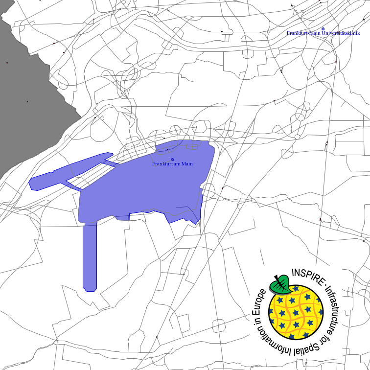
Administrative units
16 record(s)
Provided by
Type of resources
Available actions
Topics
Keywords
Contact for the resource
Update frequencies
Service types
-

INSPIRE theme Maritime Units. These are condensed coordinates of the sea border maps 2920 (North Sea) and 2921 (Baltic Sea). They are (interpolated) coordinates compressed to geodetic lines. The distance between the nodes on the geodetic lines connecting the defined border points is less than or equal to 100 m. The sea borders of Germany were proclaimed in the coordinate system European Datum 1950 (ED50), which is no longer used today. The basis for this determination is in particular the promulgation of the proclamation of the Federal Government on the expansion of the German territorial sea of 19 October 1994 (Federal Law Gazette I p. 3428) and the proclamation of the Federal Republic of Germany on the establishment of an exclusive economic zone of 25 November 1994 (Federal Law Gazette II p. 3769), which are decisive with regard to the delimitation of the German territorial sea and the German exclusive economic zone. In order to make better use of these boundaries in today's geoinformation systems and to avoid conversion errors, the BSH has derived the present utility coordinates in WGS 84. In this respect they are not official maritime borders of Germany.
-
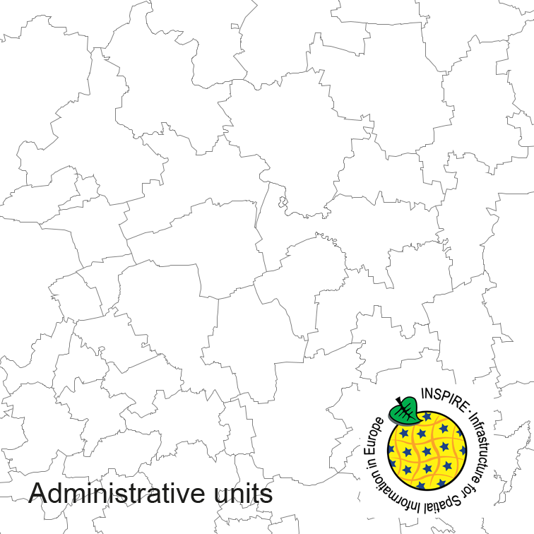
Administrative units of Germany, derived from the german digital landscape model at scale 1:250000. Mapped via EuroBoundaryMap to satisfy INSPIRE and European Location Framework conformance. The dataset is available as Open Data.
-

INSPIRE theme Maritime Units. These are condensed coordinates of the sea border maps 2920 (North Sea) and 2921 (Baltic Sea). They are (interpolated) coordinates compressed to geodetic lines. The distance between the nodes on the geodetic lines connecting the defined border points is less than or equal to 100 m. The sea borders of Germany were proclaimed in the coordinate system European Datum 1950 (ED50), which is no longer used today. The basis for this determination is in particular the promulgation of the proclamation of the Federal Government on the expansion of the German territorial sea of 19 October 1994 (Federal Law Gazette I p. 3428) and the proclamation of the Federal Republic of Germany on the establishment of an exclusive economic zone of 25 November 1994 (Federal Law Gazette II p. 3769), which are decisive with regard to the delimitation of the German territorial sea and the German exclusive economic zone. In order to make better use of these boundaries in today's geoinformation systems and to avoid conversion errors, the BSH has derived the present utility coordinates in WGS 84. In this respect they are not official maritime borders of Germany.
-
This service provides from ATKIS DLM250 transformed datasets for the INSPIRE themes Transport Networks, Hydrography (Networks and Physical Water), Administrative Units and Protected Sites. The data provided through this service covers the area of Germany.
-

This service provides from Digital Landscape Model 1:250 000 (ATKIS DLM250) transformed datasets for the INSPIRE themes Transport Networks, Hydrography (Networks and Physical Water), Administrative Units and Protected Sites. The data provided through this service covers the area of Germany.
-

Der Datensatz stellt die Jagdbögen im Landkreis Breisgau-Hochschwarzwald dar.
-
Dieser Datensatz enthält die Zuständigkeitsbereiche bzw. die Zuständigkeitsgrenzen der Polizeidienststellen.
-
Beschreibung des INSPIRE Download Service (predefined Atom): Verwaltungseinheiten aus ATKIS-BasisDLM RP - Der/die Link(s) für das Herunterladen der Datensätze wird/werden dynamisch aus Download Link aus einem Metadatensatz generiert